Hilary Arrives


Hurricane Hilary has arrived.
The massive Pacific storm roared up the west coast of the Baja California peninsula and has now reached Southern California and more widely in the southwestern USA. Hilary is the first hurricane in over 80 years to reach California so it represents a real weather anomoly.
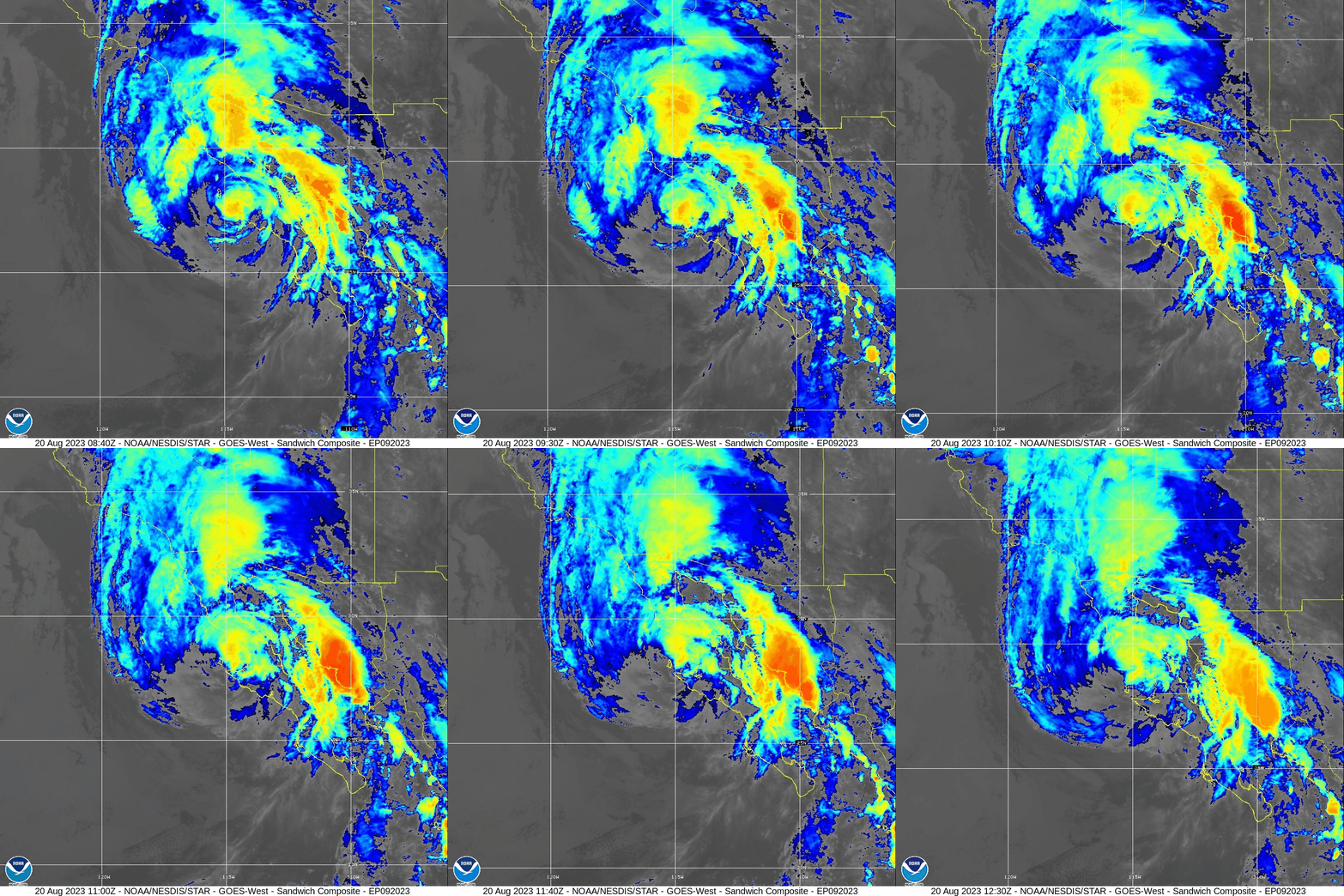
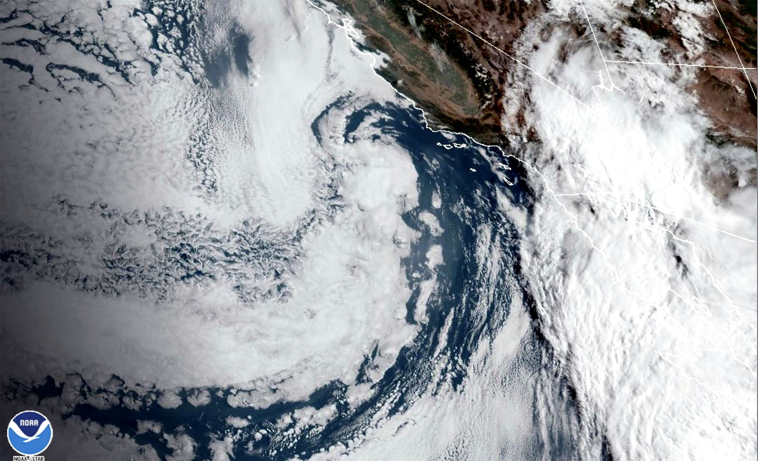
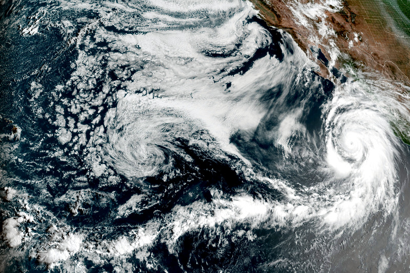
The National Atmospheric and Oceanic Administraion (NOAA) manages the GOES-18 satellite. The environmental monitoring instrument is geo-positioned far above the western Pacific Ocean and has been following the extent of the hurricane as it formed off Baja. The Agency has released a series of stunning photographs as well as an animation produced from the satellite's infrared (IR) sensors that captures Red/Green/Blue (RGB) measurements that visualizes climate date in granular detail. The benefit of the viewing these measurements with an animation is it combines the surface dimensions of the visible extent for the storm along with the cloud temperatures measured by the IR bands. With this combination of visible and invisible data it is possible to see all of the cloud-top features of the maturing cyclone that are related to its severity. Additional GOES photographs show that Hilary is extending well beyond coastal California and is heading northwards into Nevada, Utah, and perhaps beyond.


Hurricane Hilary, 8-19-23 (credit: GOES-18/NOAA) Hurricane Hilary, 8-19-23 (credit: GOES-18/NOAA)
It is yet to be determined what extent climate change has amplified Hilary's intensity. Attribution science will make those calculations once all the data from the impact of this unusual hurricane has been gathered. Hunker down has been the wise advice of the California authorities. WHB