Colliding Weather

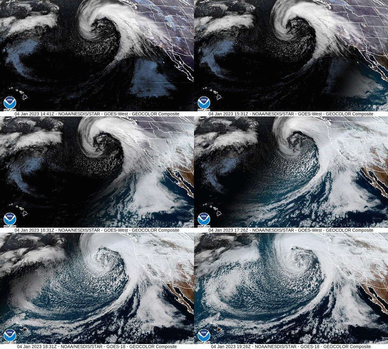
Atmospheric river + bomb cyclone, 1-4-23 (credit: NOAA/GOES-West)
When two weather events collide, it can be both impressive and dangerous.
An atmospheric river, commonly called a Pineapple Express, can originate near Hawai'i and move to the west coast of Canada and the USA. Another weather event can be a rapid drop in air pressure and a 'bomb cyclone' which is created by the process of bombogensis. If both weather systems collide, a massive amount of moisture is generated in the fast moving, upper atmospheric system. A major combined weather event is now reaching the West Coast with all the combined moisture-laden air and will potentially drop inches of rain and feet of snow on coastal, inland, and mountainous regions of California and Oregon.
According to the National Weather Service which is part of NOAA, the National Oceanic and Atmospheric Administration,
A hurricane force low pressure system is over the eastern Pacific and will send moisture and heavy winds into the West Coast.
Impacts can include damaging winds, excessive rainfall, and extremely heavy snows over much of California and into
southern Oregon. Rainfall of up to 6 inches in some locations is expected and potentially higher totals in some areas as well.
This will happen over a short time period and could produce flooding on the already saturated landscapes from earlier storms.
Recent fire scared areas could have the greatest chance of rapid runoff and mudslides with rainfall totals exceeding
an inch per hour. In the Sierra Nevada, snowfall of over three feet could be added on the mountains.
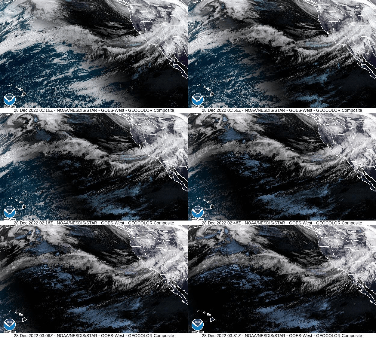
NOAA's operates several geo-stationary, remote sensing satellites in their GOES series that provide virtually real-time environmental data. This information flow allows for improved weather forecasts and predictions. GOES-West observed an earlier atmospheric river before the New Year began which produced downpours that flooded streets in San Francisco.

Atmospheric river, 12-28-22 (credit: NOAA/GOES-West)
It is too early to know the impact all this moisture on the severe drought in California and elsewhere in the Southwest. Trying to avoid the impacts and the costs of damages from such massive weather events should be a high priority. WHB