Landforms, Rivers, and Walls
Rio Grande River, Texas-Mexico Border (credit:American Rivers)
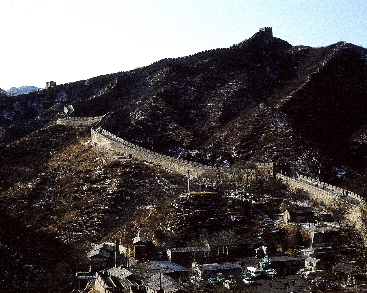
Construction of The Great Wall of China began in the 7th Century BC and stretched more than 5,000 miles across the borderlands and mountains of northern China. Laborers by the thousands were required to build the wall as it crossed high mountains, windy steppes, and the sandy deserts of northern China. Much of that Great Wall now lies in ruin due to such landforms (Geomorphology) and environments it had to endure.

Great Wall of China (credit: SWP Media)
Plans for constructing vast walls are being pushed along the US-Mexico border that runs nearly 2000 miles from the Pacific Ocean to the Gulf of Mexico. Like its earlier Chinese counterpart, construction of this wall will need to cross mountains, grasslands, and deserts. However, a unique landform obstruction exists to build this border wall, the Rio Grande River running 1200 miles along the Texas part of the border between the two countries. The river represents the entire length of the Texas-Mexico border from El Paso to Brownsville where it enters the Gulf of Mexico.
Satellite images, captured by following the entire length of the US-Mexico border, were processed to create a photo animation running from west to east. The Rio Grande required more than half of the data in the visualization.
If the economics of building a new 'great wall' doesn't cauce pause, a river featured winding along the border may prove its doom.
WHB