NOAA GOES Operational in High Gear
NOAA's GOES-S Satellite Launched, March 2018 (credit: NASA)
NOAA's revolutionary series of geo-stationary environmental satellites, GOES-S, is fully operational.
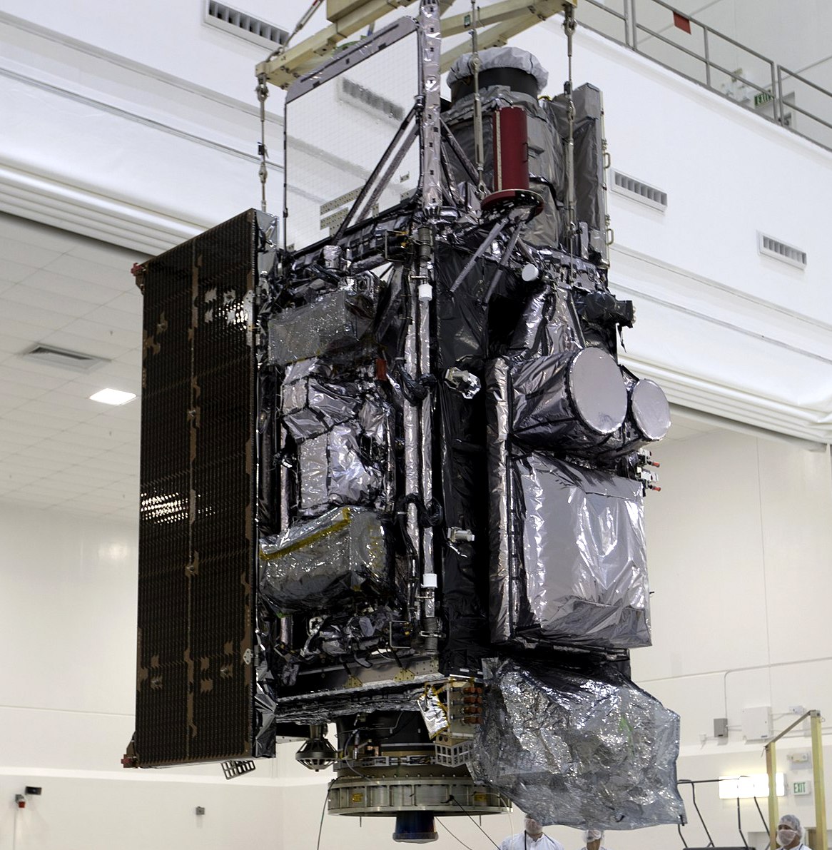
The advanced weather and climate monitoring satellite was launched by an Atlas V rocket from Cape Canaveral into a permanently positioned orbit at ~22,300 miles above the Earth's surface. GOES carries high-performance solar panels that power its collection of scientific instruments and scanners. The new satellite provides nearly real-time data to track storms, wildfires, coastal weather patterns, and hazards that affect the western North America and the Pacific ocean.

NOAA's GOES-17 environmental satellite (credit: Wikicommons)
A NASA administer commented on the new remote sensing space platform:
"We are proud to support our agency partner NOAA in launching of GOES-17, a national asset that will impact lives across the Western Hemisphere each and every day.”
The previous version of NOAA's new satellites, GOES-16, began returning data and imagery when it began operating that provided stunning new details that changed weather forecasting. From the first images, that satellite captured the development of what became Super-storm Riley. NOAA's early warning system likely help save many lives from it early warnings.
Riley produced huge snowfalls, damaging winds, and coastal flooding surges in multiple states. GOES-17 can be expected to provide greatly increased environmental information for western North America allowing for better predictions for snowpacks, droughts, cyclones, and other weather-related events. With climate change-induced weather events already now, bring on the satellites and their science to help in any way possible!
GOES-17 is even more technologically advanced and running now in high gear.
WHB