Sailing The Wine Dark Seas
Odysseus and the Sirens vase,5th Century BCE (credit: Wikipedia/British Museum)
In the Odyssey, Homer informs us of the struggles Odysseus and his crew experienced during their travels returning home to Greece after the Trojan Wars. They only had the most rudimentary of maps to guide them on their journey so they often wandered aimlessly on the Wine Dark Seas. Three millennia after their epic adventure, maps of the islands and the Greek coastlines provide greater, if not particularly more poetic, details which would have been to their benefit.
Historical investigations have tried to trace the footsteps of Odysseus by using specific land references made by Homer. A tourist map, produced by classicists at Stanford University, followed a travel route where Odysseus reportedly stopped on the journey to find his fabled home of Ithaca. The regional geology of the eastern Mediterranean in Homer's era ~850 BCE was likely quite a bit different than what exists today, however.
Following in the Footsteps of Odysseus (credit: Stanford University)
Greece lies in a volcanically active and earthquake prone zone and parts of the coastline have risen or fallen dramatically in the intervening 3500 years since Odysseus set sail from Troy. The narrow Corinth gap could have easily been a sea channel between the Peloponnese and mainland Greece during Homer's time. It is dry land now.
Astronauts on the International Space Station captured a fine map of the rocky Greek coastline and narrow gaps between islands and mainland Greece. The jagged coastline shows the tortured effects of constant rock falls and earthquake created scarps. These have been the deadly fate of many ships that floundered on their shores.
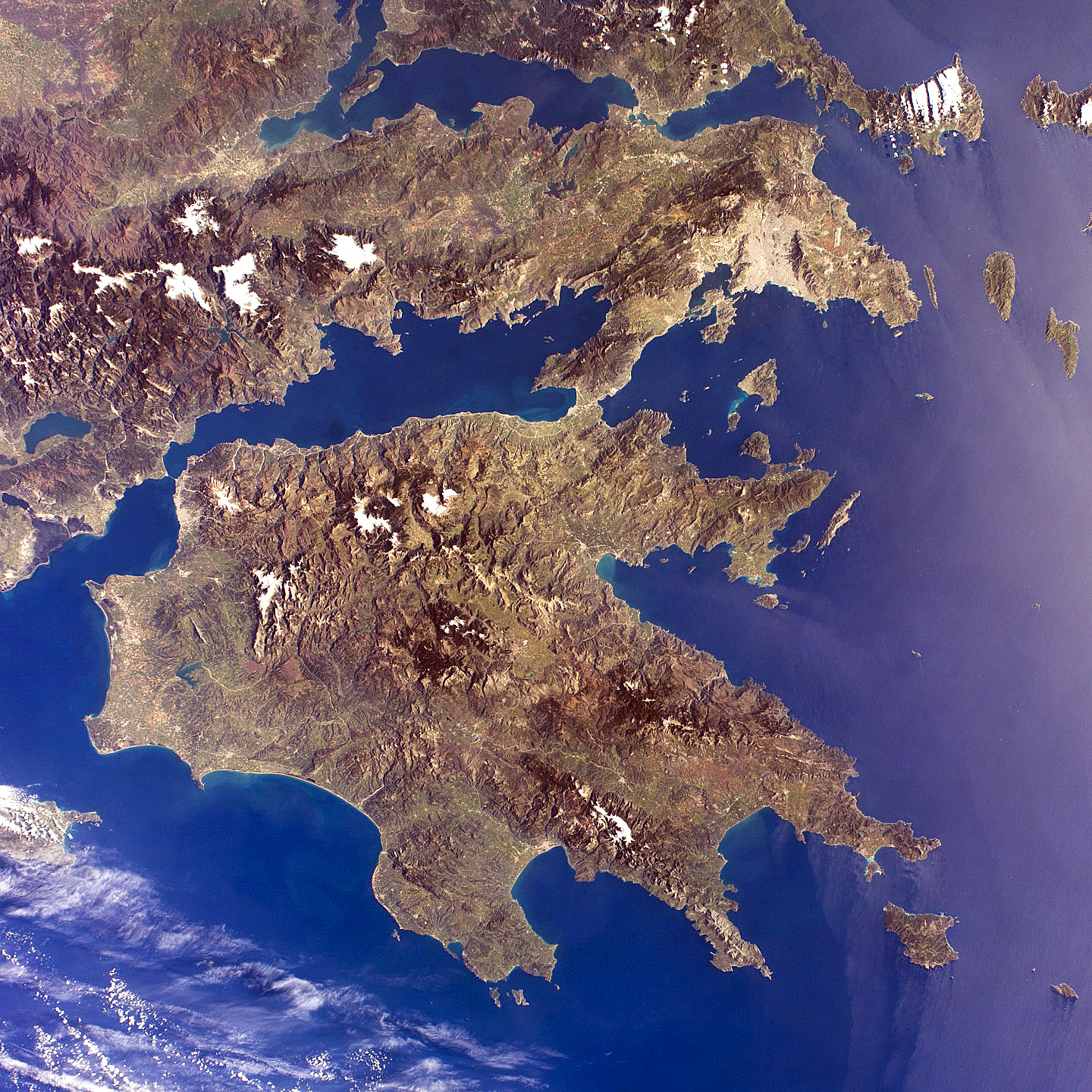
Peloponnese & Greek coastline (credit: ISS/NASA)
It is fun to attempt to re-imagine ancient travel routes using new satellite maps. The mythology surrounding Odysseus and his journey has entertained people from oral renditions to film epics and continues to do so. Perhaps, some new Homeric reference will be discovered that offers a bit of new insight that satellites then apply to finally locate where the epic hero finally landed. WHB