Observing Earth With GOES's "Eyes"
Tropical Hurricane Harvey (credit: GOES-13, NOAA)
The advanced group of GOES Earth observing satellites, managed by NOAA (National Oceanic and Atmospheric Administration) is creating maps as beautiful as they are vital. Their GOES satellites constantly gather 'big data' using powerful sensors to view the Earth's environment and its changes. The satellite images and data is applied to weather forecasting, ocean navigation alerts, and in long-range climate predictions. The data is used by the National Weather Service, commercial weather channels, universities, the Department of Defense, and the wider environmental research community.
Their GOES imager captured the scope of slow-moving Hurricane Sally as it pummeled the US Gulf Coast with rainfall exceeding three feet of water and flooding wide areas inland. The data was visualized in both natural and infrared light wavelengths.
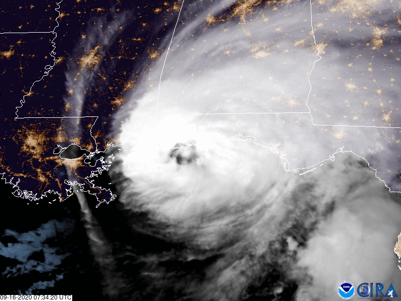
Hurricane Sally, 9-16-2020 (credit: NOAA-GOES)
NOAA allows public access to the GOES data from their National Center for Environmental Information for people who are interested. You can view how your location, state, or region appears through NOAA's Earth-orbiting GOES "eyes".
WHB